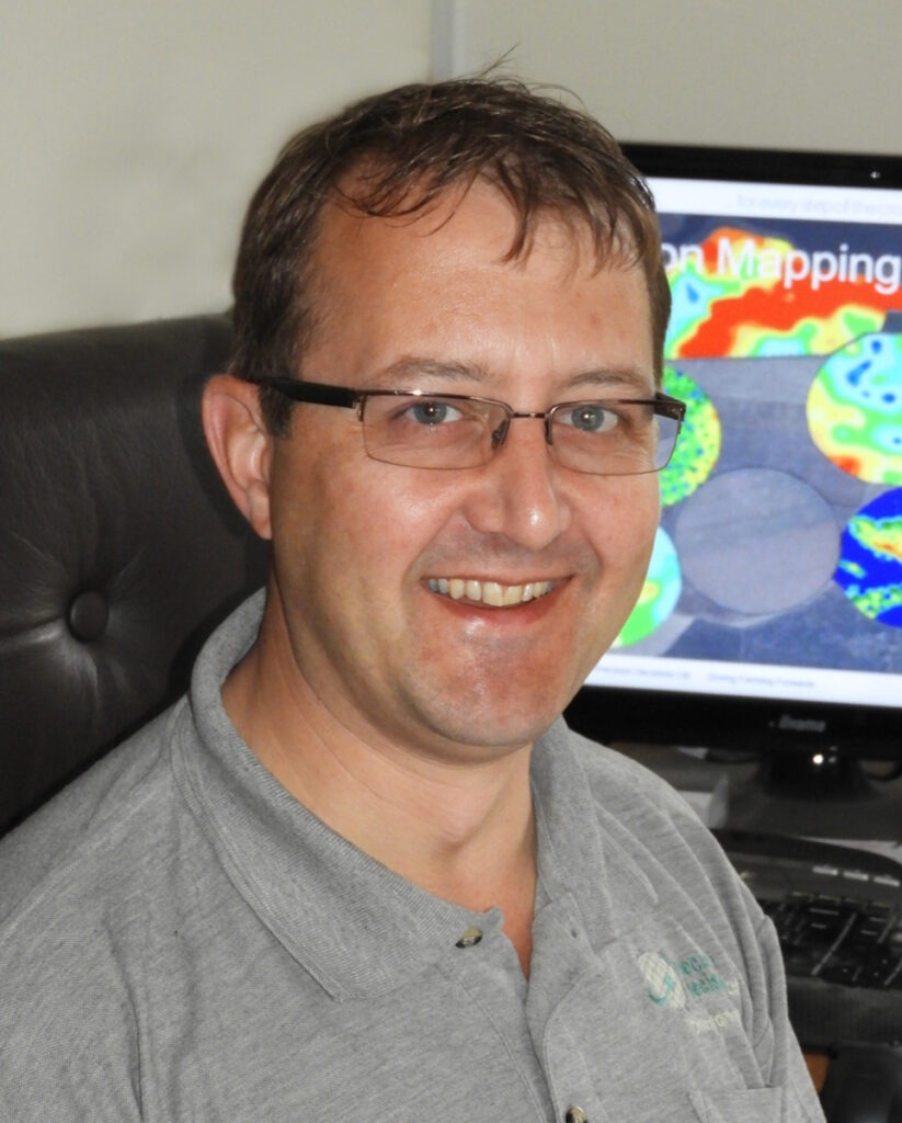
Agrivation, led by precision farming specialist and farmer Clive Blacker, plays a crucial role in the SLIMERS project by providing high-resolution soil mapping and sampling for the Slug Sleuths’ fields. This vital baseline data supports the project’s efforts to better understand the relationship between soil conditions and slug activity.
Clive uses advanced precision agriculture tools, including electromagnetic induction (EMI) scanning, RTK GPS-referenced soil sampling, and drone imagery, to create detailed maps of soil texture, variability, and moisture holding capacity. These maps help to identify potential slug hotspots that guide trial layout for both monitoring and management strategies, and provide the baseline for variable rate applications.

Each year, shortly after harvest, Clive visits each Slug Sleuth farm to carry out the initial soil mapping. Following drilling, he returns to establish a dedicated 1-hectare monitoring plot. This plot is overlaid with a georeferenced 10×10 grid and fitted with 100 slug refuge traps. Care is taken to align the grid with areas known to be slug-prone based on both farmer insight and soil characteristics revealed through the mapping.
As the project progresses, the data provided by Agrivation is being used by researchers at Harper Adams University to support the development of the slug patch prediction models. These models aim to help farmers target slug control more effectively, reducing pesticide use while protecting crop establishment.
Clive says: “Working alongside the Slug Sleuths on this project has been a fantastic opportunity to combine cutting-edge soil science with practical, on-farm decision making. By mapping the invisible – what’s happening beneath the surface – we’re helping build the evidence base that will lead to smarter, more sustainable slug control.”